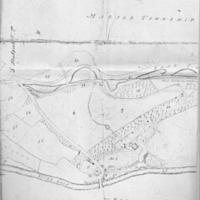
Estate Map of Property of N Wright Esq 1811
Dublin Core
Title
Estate Map of Property of N Wright Esq 1811
Description
Two photocopies of estate Map of 1811 showing Low Marple, Brabyns Hall and Marple Township, the property of Nathaniel Wright with Reference, naming numbered areas listed with their measurements.
Date
Reviewed AB 06/2023
Identifier
Louiset
BRH/08/02
BRH/08/02
Collection
Citation
“Estate Map of Property of N Wright Esq 1811,” Marple Local History Society Archives, accessed November 22, 2024, https://mlhs.org.uk/archives/items/show/278.

