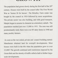
Text / Maps from Exhibition on History and Development of Marple
Dublin Core
Title
Text / Maps from Exhibition on History and Development of Marple
Description
Text and maps from an exhibition giving the history and development of the Marple area. There are sections on The Forests, The Domesday Book, the Hearth Tax, Road, Canal and Rail and changes during the reign of Henry V111 in 1536 which led to the parishes being responsible for the relief of the poor and to 1970's with Marple becoming part of Stockport MBC.
Date and location of Exhibition unknown.
Date and location of Exhibition unknown.
Publisher
Reviewed AB 08/2024
Date
Reviewed AB 08/2024
Identifier
HIS/01/01
Louiset
Louiset
Collection
Citation
“Text / Maps from Exhibition on History and Development of Marple,” Marple Local History Society Archives, accessed November 22, 2024, https://mlhs.org.uk/archives/items/show/873.
