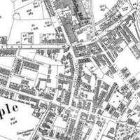
OS Maps
Dublin Core
Title
OS Maps
Subject
Maps of the Mill area from 19th & 20th century.
Description
Four A3 copies of Ordnance Survey maps, dating from 1820's, 1881, 1930, and 1949.
Contributor
martinc
Identifier
HOM/02/08
Collection
Citation
“OS Maps,” Marple Local History Society Archives, accessed December 22, 2024, https://mlhs.org.uk/archives/items/show/97.
