Schedule & Map of Hollins Mill and House & Mill Site Map
Dublin Core
Title
Schedule & Map of Hollins Mill and House & Mill Site Map
Description
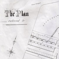
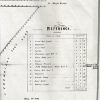
(a) Two A3 photocopied sheets comprising a schedule and map with key entitled “The Plan – referred to” signed at the bottom by Samuel Hodgkinson, Thomas Carver and John Carver but undated. This shows Hollins Mill with gasometer, chimney, boiler house, engine house, weaving shed and various other industrial buildings supporting the mill. Also Hollins House, stable yard, gardens, entrance lodge and surrounding parkland.
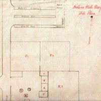
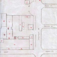
(b) Hand drawn site plan on A3 paper of Hollins Mill by Hugh Fletcher showing layout of mill site and local streets including Hollins Lane, Hollins Terrace, Middle Row and White Row. Undated.
(b) Hand drawn site plan on A3 paper of Hollins Mill by Hugh Fletcher showing layout of mill site and local streets including Hollins Lane, Hollins Terrace, Middle Row and White Row. Undated.
Source
Site map from Hugh Fletcher (dec'd) collection. A member of Marple Antiquarian Society.
Donated by his grandson J Harris in 2019.
Donated by his grandson J Harris in 2019.
Date
Reviewed AB 07/2024
Identifier
HOM/01/09
LouiseT
LouiseT
Citation
“Schedule & Map of Hollins Mill and House & Mill Site Map,” Marple Local History Society Archives, accessed November 24, 2024, https://mlhs.org.uk/archives/items/show/16.


