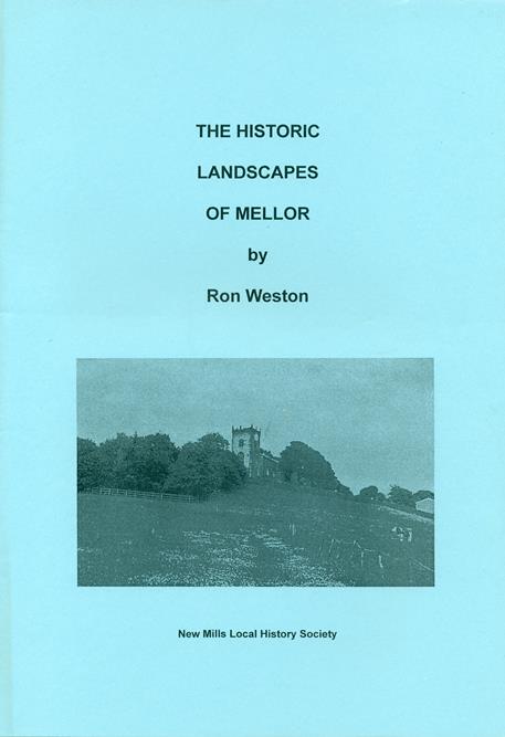
Historic Landscapes of Mellor
An examination of how our current landscape and field pattern developed over time.
Author: Ron Weston
Published: New Mills LHS
A4 booklet 36 pages, 16 plans and maps
Price: £4.00
Chapters
- Chapter 1 Introduction
- Chapter 2 Enclosure of the commons
- Chapter 3 Evolution of Mellor before 1640
- Chapter 4 Woods and hedges
- Chapter 5 Roads and tracks
- Chapter 6 Conclusion
- Appendix
This study identifies and describes the landscapes of Mellor and tries to explain the process by which the settlement pattern has evolved and the land has been enclosed and improved for farming. Superimposed on this is the industrial development from the second half of the eighteenth century onwards and, more recently, commuter residents working in Stockport and Manchester.

